2025. April 3. Thursday
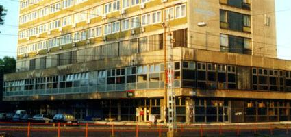
Institute of Geodesy, Cartography and Remote Sensing - Budapest
 |
Address: 1149, Budapest Bosnyák tér 5.
Phone number: (1) 222-5111
E-mail: szabo@fomigate.hu
Opening hours: On prior notice
|
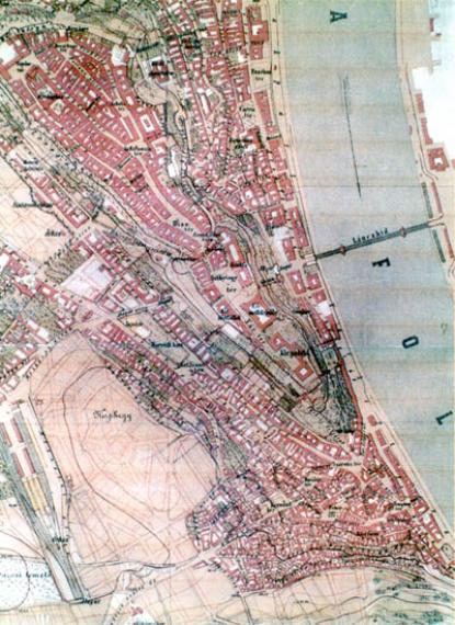
Among the exhibited items (125 pcs) we find the Lázár-scribe map (1528), the map of Sámuel Mikovinyi made of Solt county (1737), the one made by Ferenc Karacs, entitled "Hungary and its connections" (1810), and that of János Marek made about Buda (1876).

Of the 20th century we can find the map of Arad county (1906), and a series of maps of Hungary made in EOTR. Some outstanding space photography maps are also displayed (1994). We may get to know the digital map producing technology and may look at the maps themselves made in cuch way (1995).

Of the 20th century we can find the map of Arad county (1906), and a series of maps of Hungary made in EOTR. Some outstanding space photography maps are also displayed (1994). We may get to know the digital map producing technology and may look at the maps themselves made in cuch way (1995).
